Here’s me and Amy in December 2019, and me in November 2016 in Tagaytay, with Taal Volcano sitting peacefully in the background.
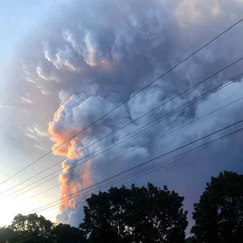
And then, in January 2020, boom.
My younger brother Javi was in Canlubang at the time and got this photo of the eruption plume:

Various satellite and radar views from YouStorm:
Visible lava fountains would follow soon after.
From NASA Goddard Earth Observatory, satellite views of the eruption, and before/after satellite views of devastation on the volcanic island.
At the time of this writing Taal’s alert level has been lowered to 1.

