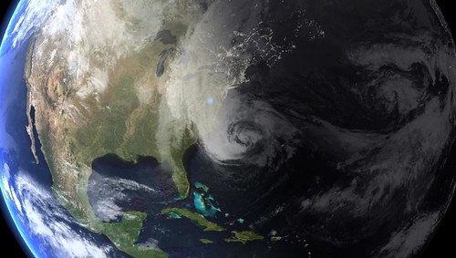
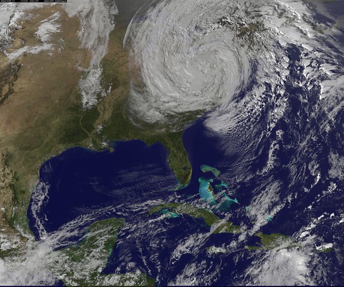
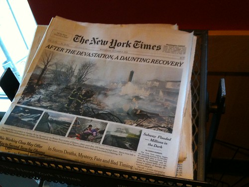
Sandy was an epic storm: a tropical cyclone interacting with a strong Northeaster, a kinked jet stream, warm Atlantic waters, and a full moon, all combining into a massive tropical — and later post-tropical — cyclone that veered west from the Atlantic into the East Coast, hitting the northeast US hard with strong wind, heavy rain, and massive flooding. Cities, homes, and lives were devastated. People were killed, trees fell on cars and houses, beaches and boardwalks were destroyed, and whole swaths of New York and New Jersey were submerged.
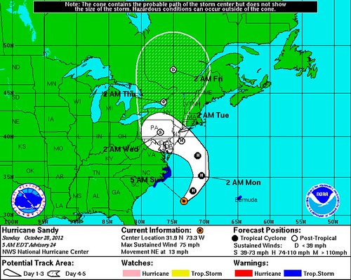
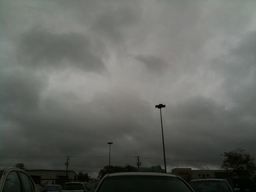
We, however, experienced Sandy in a little bubble, huddled inside our tiny condo, which was well-insulated from the driving rain and howling wind outside. Based on predictions and alerts that turned out to be spot on, offices, schools, and Metro announced closures early, so I worked from home Monday and Tuesday, watching weather coverage on the TV and reloading , National Hurricane Center tracking maps, regional radar, and the latest GOES satellite image.
Though the lights flickered a few times, we never lost power. We’d stocked up on canned goods, water, gas, and batteries, but never needed them. After two days, the rain stopped and the wind died and we went to Five Guys for a post-storm lunch. By Wednesday things were mostly back to normal.
But not everyone was as lucky.
Small Flickr photoset here, and more links follow: